A map showing the flight paths of missiles and drones has appeared in the "Air Alert" application.
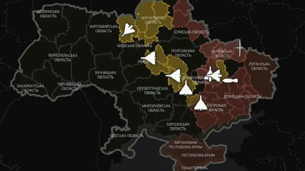
The "Air Alert" application now features a map showing the estimated flight paths of enemy missiles and drones. This project was developed by the Ministry of Digital Affairs, the Ministry of Defense, the Ukrainian Air Force, and Ukrainian IT companies. The map does not show the exact location of targets in real-time, so it is necessary to seek shelter during air alerts.
The "Air Alert" app now displays a map showing the estimated flight paths of enemy missiles and drones.
Prime Minister of Ukraine, Serhiy Koretsky, announced that this function was the result of joint work by the Ministry of Digital Transformation, the Ministry of Defence, the Ukrainian Air Force, and Ukrainian IT companies.
According to the Prime Minister, during air attacks, every minute is crucial for the safety of people. Therefore, it is important for people to have quick access to verified military information and not waste time searching for information in unverified sources.
At the same time, the developers emphasize that the map does not show the exact location of targets in real-time. In the event of an alert, it is necessary to immediately proceed to a shelter and remain there until the all-clear.